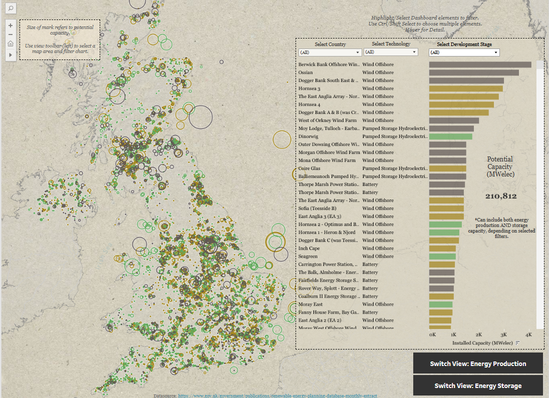
In a recent personal project of mine, I wanted to explore and map UK renewable infrastructure projects using government data:
https://www.gov.uk/government/publications/renewable-energy-planning-database-monthly-extract
This dataset had everything I needed, EXCEPT for the fact that the coordinates of infrastructure were not based on global latitude and longitude (as used by Tableau), but rather eastings and northings based on the UK OSGB (Ordinates Survey National Grid) whereby any UK location is described in terms of its distance from the origin (0,0) just west of the Isles of Scilly.
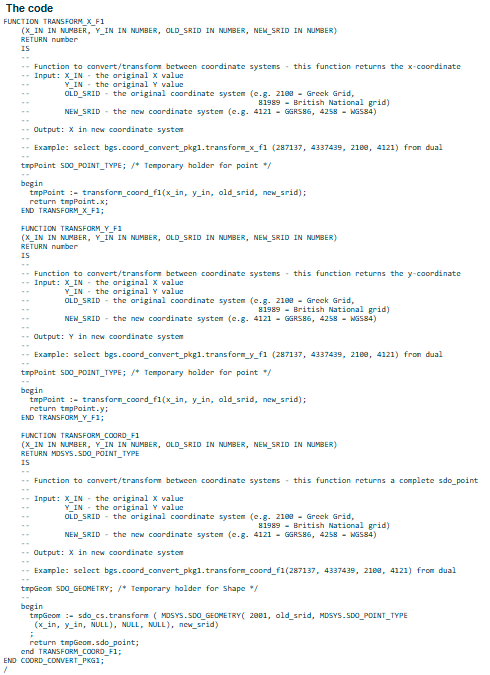
What to do? I needed to convert these points into Tableau recognised longitude and latitude. In my research I found that the British Geological Survey had offered the following meaty SQL function for converting coordinates in bulk:

Which I am sure would work. But frankly I felt there must be an easier way, and after chatting with my colleagues it was recommended that I further explore Tableau's MAKEPOINT() function.
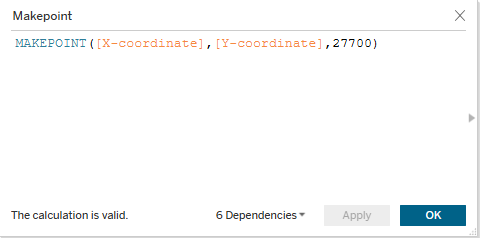
I already knew that MAKEPOINT() could convert latitude and longitude coordinates into a spatial object: MAKEPOINT(latitude, longitude)
What I did not know is that you could pass in a third argument into this function: a Spatial Reference System Identifier (SRID). This is a unique value used to identify local spatial coordinate systems utilising ESPG reference system codes. There is a whole list of them here:

This allowed me to locate the following:

Once you find the relevant ESPG, in my case 27700, simply plug it into the third argument of your calculated field!

Each row of data will now have a spatial object attached that Tableau can place accurately onto global latitude and longitude coordinates, happy days! I was now able to plot my map:

